Cities, Towns &
Counties

about the collection
Missouri cities, towns and counties grew rapidly from the mid-1800s as people moved west. Mapmakers used various mapping techniques to give us a glimpse into the political, cultural, and economical life of these communities.
Wagner's complete map of St. Louis, East St. Louis, and suburbs
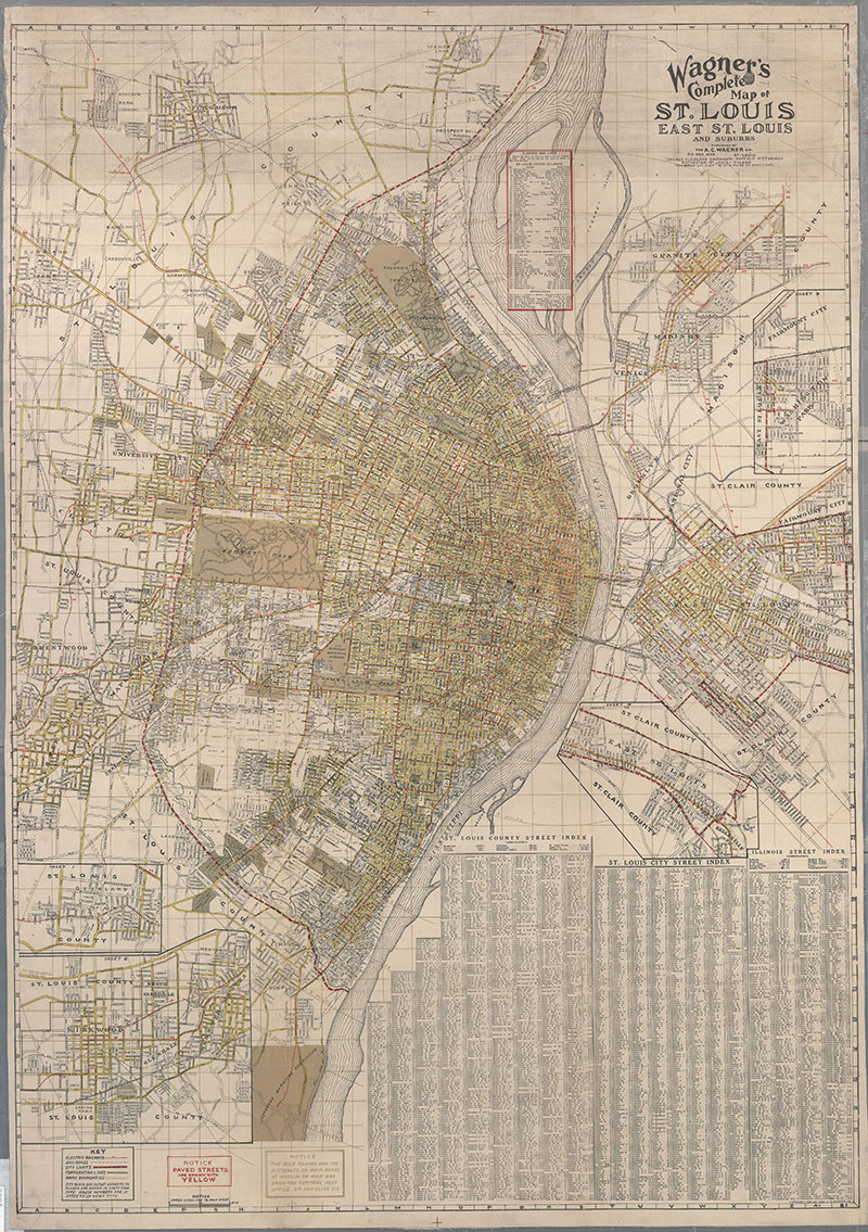
Description: Shows electric railways, railroads, parks, city and ward boundaries. Paved streets are shown in yellow. : Includes street indexes. : Insets: Overland Park ; Kirkwood/Webster Groves ; Washington Park ; East St. Louis extension. Same scale as main map.
Date: 1920, Scale: ca. 1:28,500, Published: St. Louis : A.C. Wagner Co., Mapmaker: A.C. Wagner Co.
Topography of Platte County, Missouri
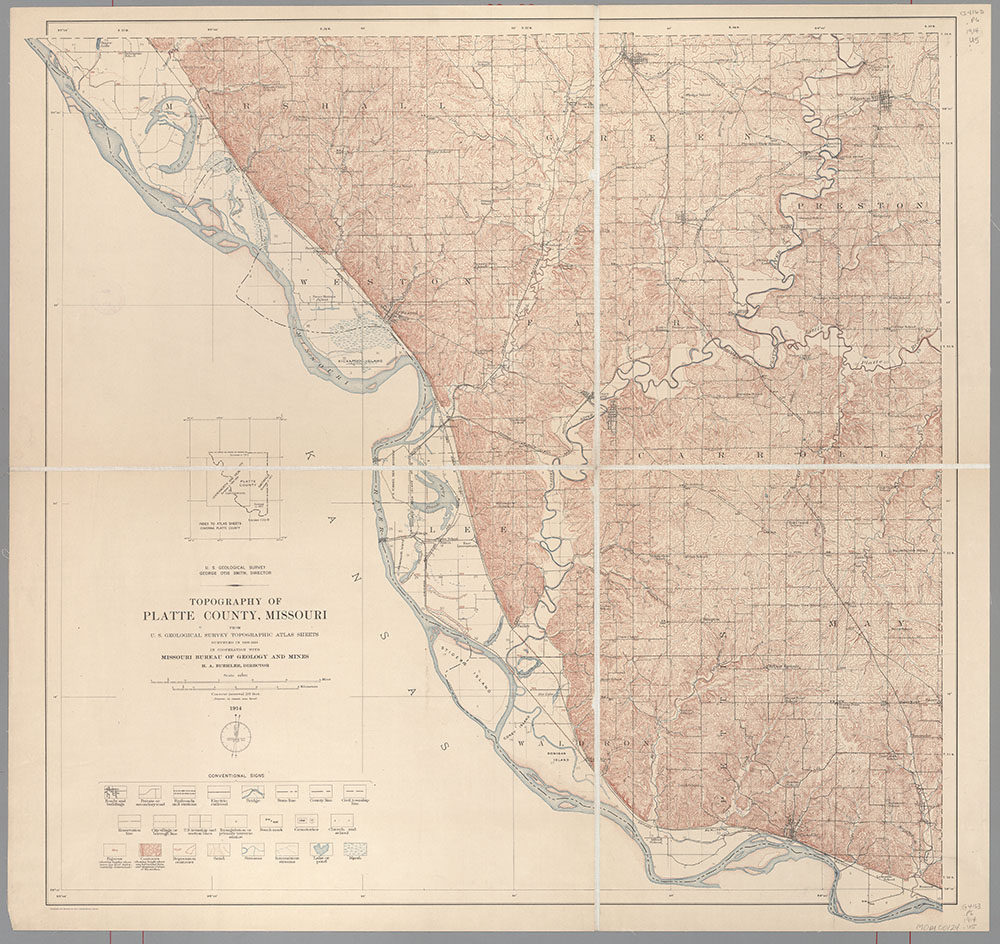
Description: Shows rivers, towns, schools, churches, railroads. Includes index to atlas sheets.
Date: 1914, Scale: 1:62,500., Published: [washington, D.C.] : U.S. Geological Survey, Mapmaker: Geological Survey (U.S.)
St. Louis common in T. 44 & 45 N R.7E 5th P.M.
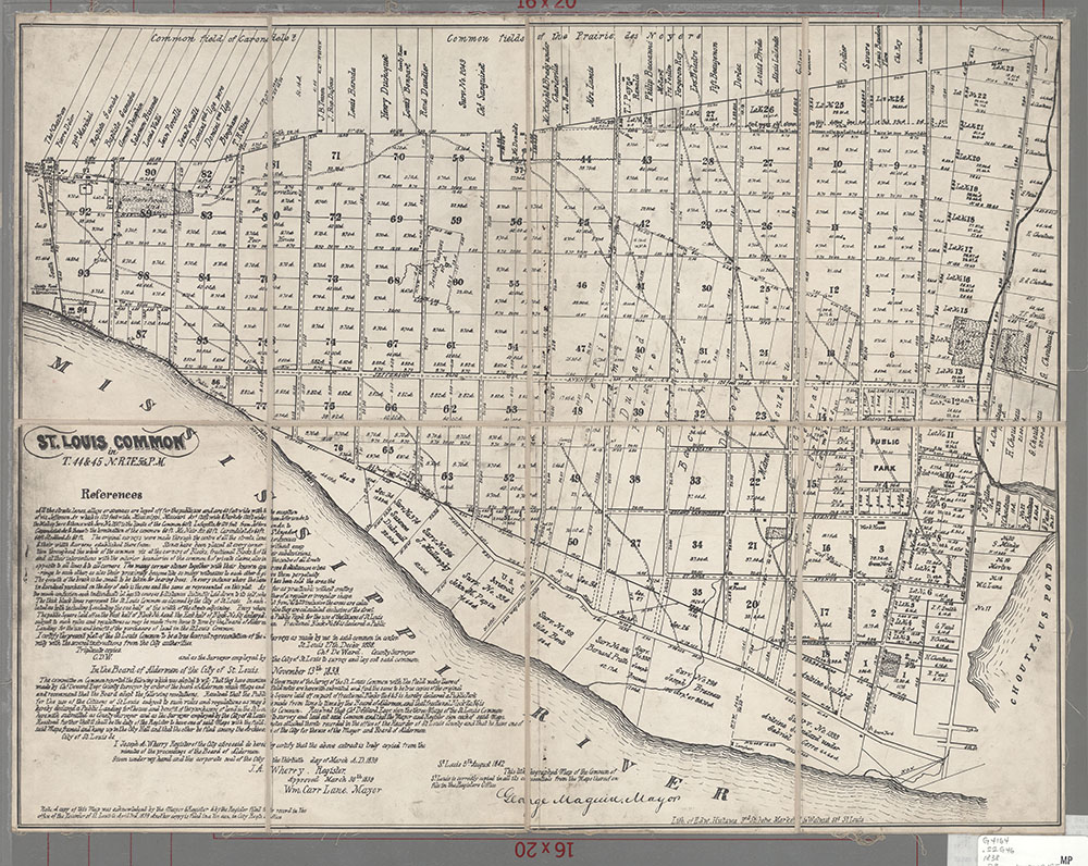
Description: Shows land ownership. Shows city south of Chouteau's Pond/Chouteau Ave. Oriented with north to right. In lower left corner: signatures of J.A. Wherry, Register, and Wm. Carr Lane, Mayor, dated March 30, 1839.
Date: 1842, Scale: ca. 1:12,540, Published: St. Louis : Lith. of Edw. Hutawa, Mapmaker: St. Louis (Mo.) Board of Aldermen
St. Louis
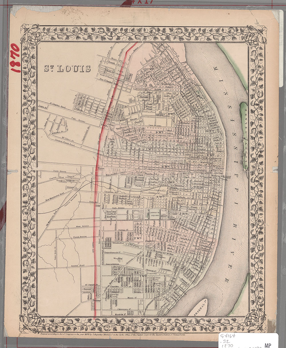
Description: Shows ward boundaries.
Date: 1882, Scale: ca. 1:32,600, Published: [Philadelphia] : S.A. Mitchell, Mapmaker: Mitchell, S. Augustus (Samuel Augustus), 1792-1868
St. Louis
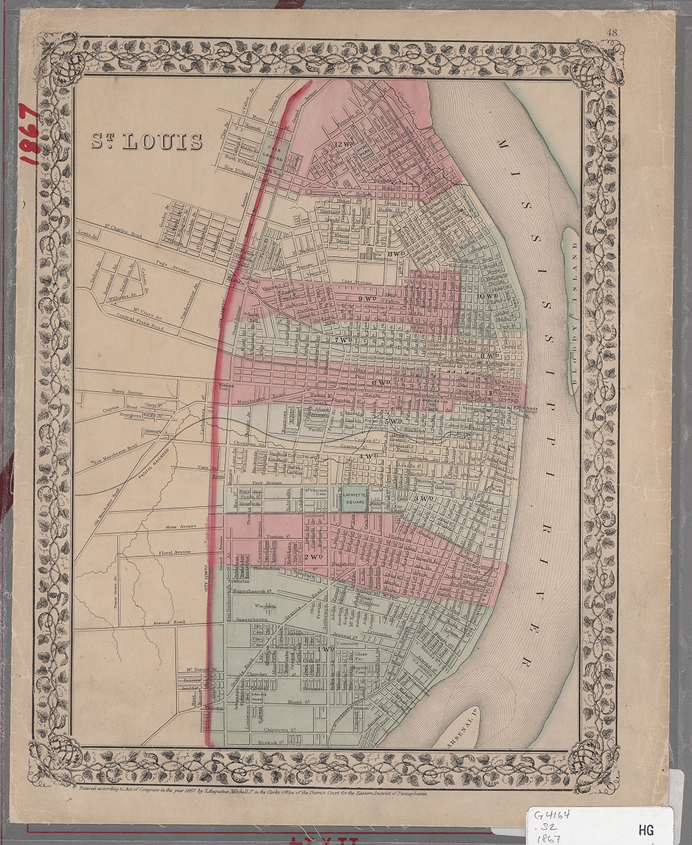
Description: Shows ward boundaries.
Date: 1967, Scale: ca. 1:32,800, Published: [Philadelphia] : S.A. Mitchell, Mapmaker: Mitchell, S. Augustus (Samuel Augustus), 1792-1868
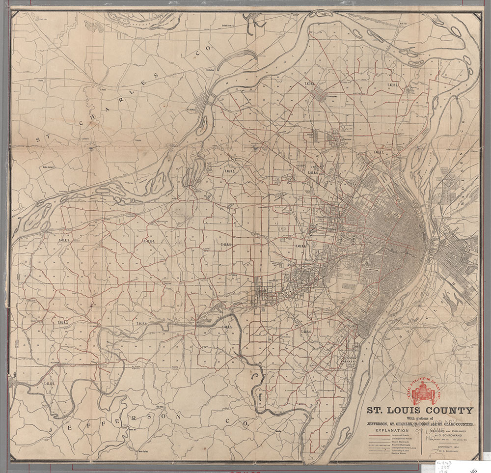
Shewey's map of Saint Louis County, Mo.
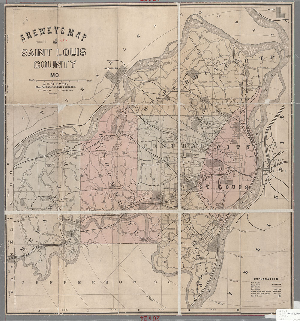
Description: Shows rail roads, rock roads, dirt roads, post offices, money order post choices, towns, school house. Includes City of St. Louis. Shows township boundaries.
Date: 1980(?), Scale: ca. 1:96,300, Published: St. Louis, Mo. : A.C. Shewey, Mapmaker: Shewey, A.C. (Arista C.)
Rand McNally and Company's new map of St. Louis
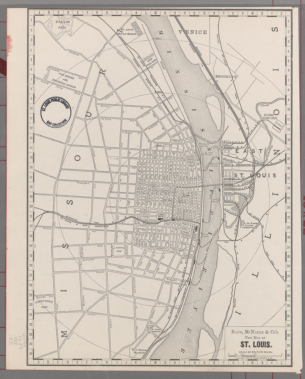
Description: Shows the city primarily north of Arsenal, and east of Grand. Shows railroads, roads, and primary institutions. : Includes Venice, Brooklyn, and East St. Louis (Saint Clair County, Illinois). Origin: From an unidentified atlas.
Date: 1888, Scale: ca. 1:34,848, Published: [Chicago, Ill.] : Rand, McNally & Co., Mapmaker: Rand McNally and Company
Plan of the city of St. Louis, Mo.
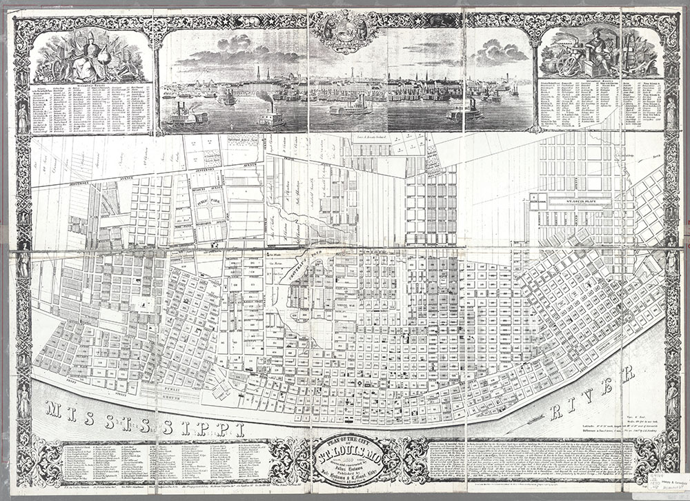
Description: Inset: [View of St. Louis from the Mississippi River] (14 x 51 cm.) : Tables: Steamboat routes. Includes notes about the map and identification of 113 points of interest.
Date: 1850, Scale: 1:8,820. 690 feet to one inch., Published: St. Louis, Mo. : published by Juls. Hutawa & L. Gast, Lithrs.
Plan of the town of St. Louis
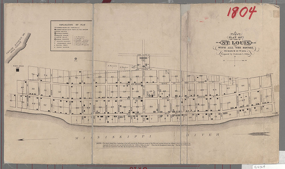
Description: Shows wooden houses on stone walls, wooden houses with posts in the ground, stone houses, Catholic Church, priests house, horse mills, stone towers, soldiers barracks, commandants house, central tower, powder magazine. Gives French and English names. 'Note: The black dotted lines, beginning at the half moon at the North-east corner of the Plat and running around the village to the river at block 44, represent the palisades put up immediately after the ;Affair of May 26, 1780.' They had all disappeared before 1804. The blocks of the town lots were not numbered until after the incorporation of the City, in 1823.
Date: 1883, Published: [Philadelphia : L.H. Everts & Co.], Mapmaker: Billon, Frederick Louis, 1801-1895
Pilot's map of St. Louis County
