Missouri State
Maps

1823
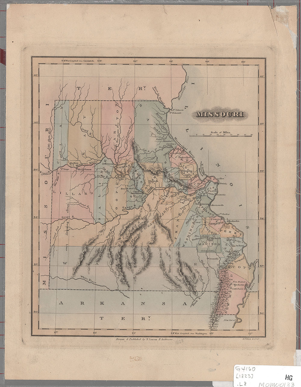
Description: Shows rivers, counties, settlements. Possibly from: A general atlas containing distinct maps of all the known countries in the world / F. Lucas Jr. -- Baltimore, 1823 -- no. 73.
Date: 1823, Scale: ca. 1:2,390,000. : W 95¦00'--W 88¦30' /N 41¦20'--N 35¦40', Published: Baltimore : F. Lucas, Mapmaker: Lucas, Fielding : 1781-1854
1838
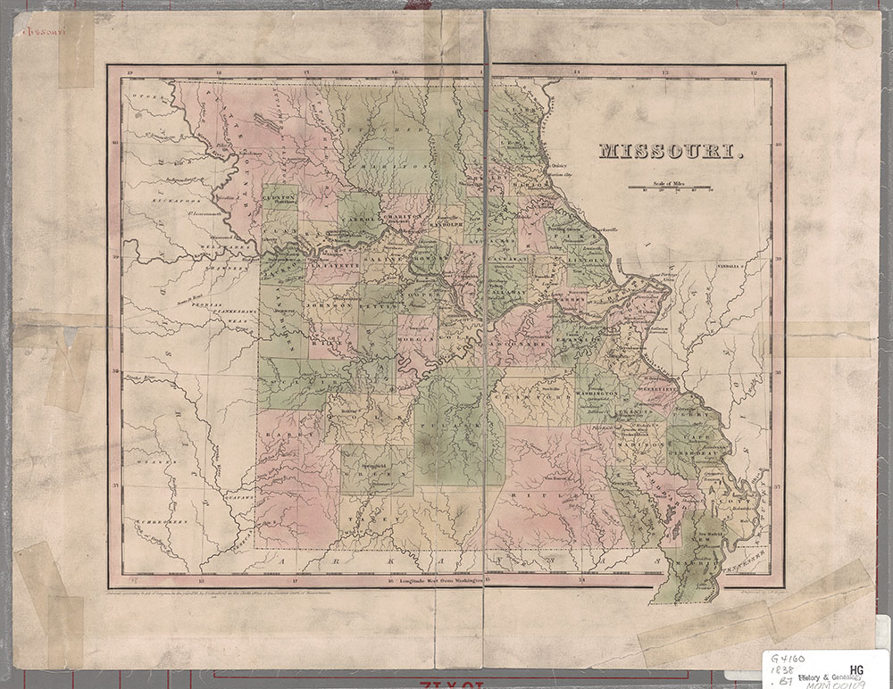
Description: From: Universal, illustrated atlas ... / T.G. Bradford and S.G. Goodrich -- Boston, 1842 -- no. 40.
Date: 1838, Scale: 1:1,900,800. 1 in. = 30 miles, Published: [Boston] : T. G. Bradford, Mapmaker: Boynton, George W., 1884
1847
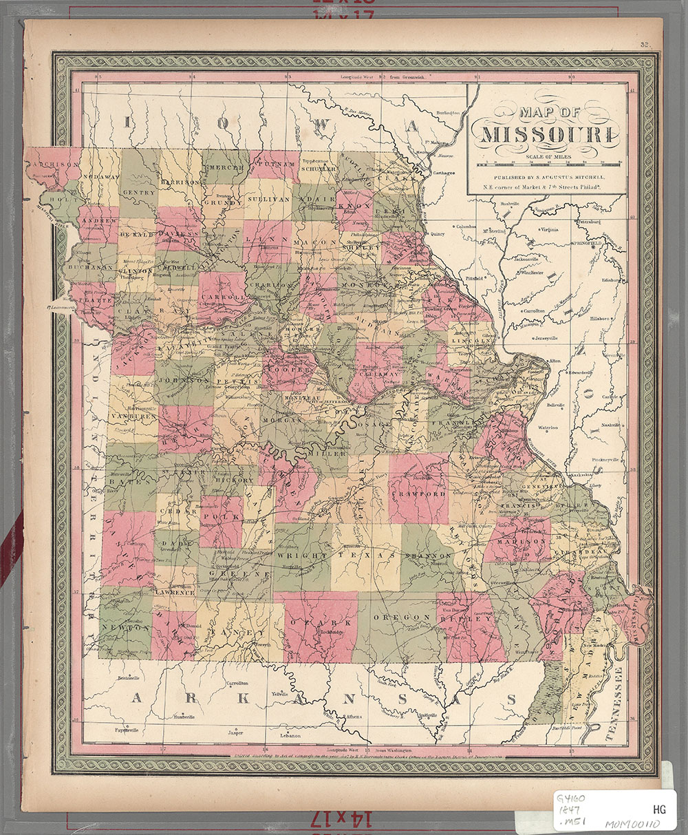
Description: From: A new universal atlas ... / S. Augustus Mitchell -- Philadelphia, 1847 -- no. 32.
Date: 1847, Scale: ca 1:1,584,000, Published: Philadelphia : S.A. Mitchell, Mapmaker: Mitchell, S. Augustus (Samuel Augustus), 1792-1868
1855
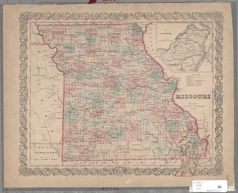
Description: Inset: Vicinity of St. Louis. 10 x 11 cm. Scale ca. 1:464,000. Appears to be detached from: Colton's atlas of the world. New York, 1855.
Date: 1855, Scale: ca. 1:1,700,000, Published: New York : J. H. Colton & Co., Mapmaker: Colton, G. Woolworth (George Woolworth), 1827-1901
1855
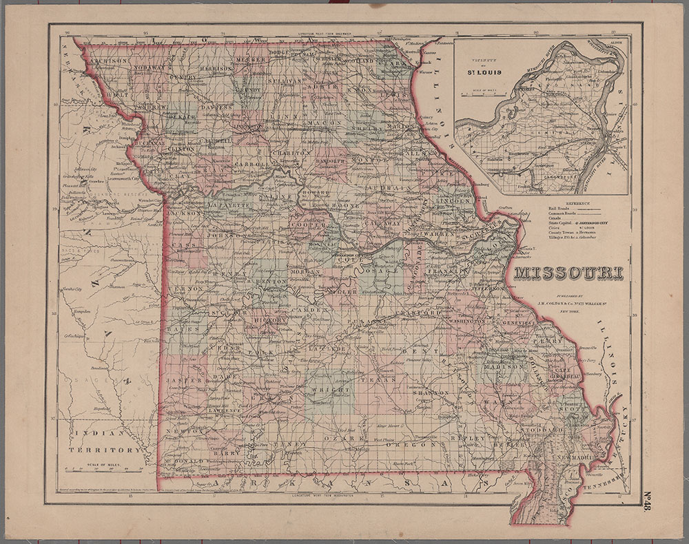
Description: Indicates counties, drainage, railroads and towns. Inset: Vicinity of St. Louis. 10 x 11 cm. Scale [ca. 1:445,000]. From: Colton's general atlas / by G. Woolworth Colton -- New York, 1857, -- no. 48.:
Date: 1855, Scale: ca. 1:1,750,000 : W 96¦00'--W 88¦50'/N 40¦30'--N 36¦00', Published: New York : J.H. Colton & Co., Mapmaker: Colton, G. Woolworth (George Woolworth), 1827-1901
1856
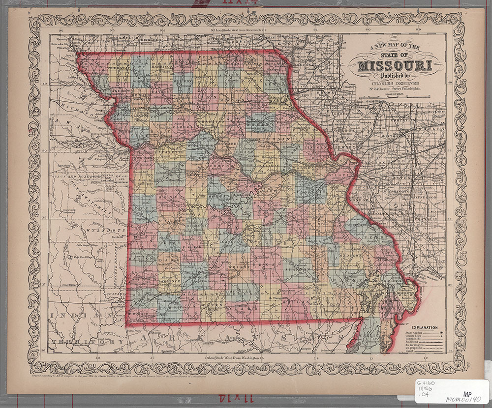
Description: Shows towns, railroads, canals, roads. Probably from: A new universal atlas ... / S. Augustus Mitchell -- Philadelphia, 1856. -- no. 33.
Date: 1856, Scale: ca 1:1,785,000 : W 96¦00'--W 88¦30'/N 40¦30'--N 36¦00', Published: Philadelphia : Charles Desilver, Mapmaker: Desilver, Charles
1861
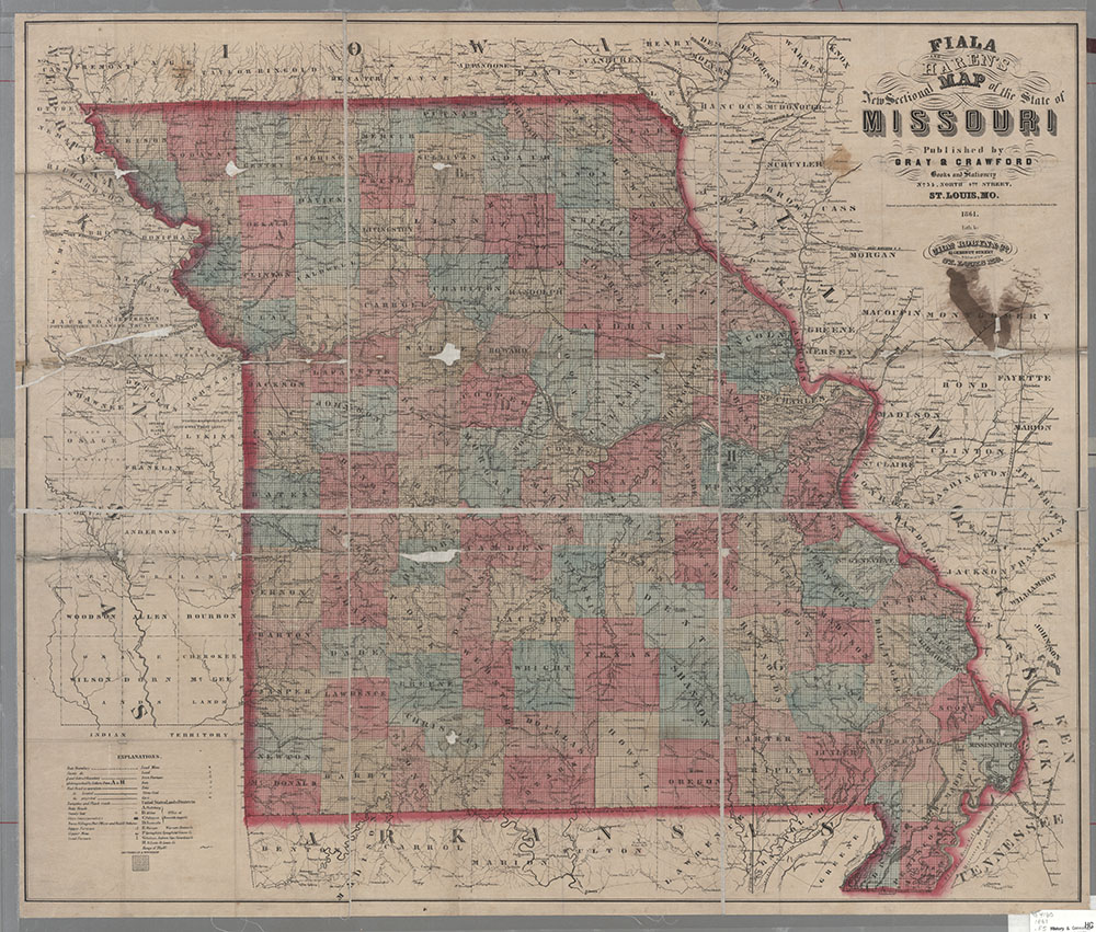
Description: Shows counties, U.S. Land Districts, railroads, roads, towns, mines and general resources.
Date: 1861, Scale: ca 1:760,000, Published: St. Louis, Mo. : Gray & Crawford, Mapmaker: Fiala, John T.
1866
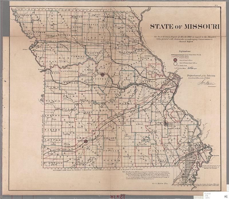
Description: Shows land grant railroads with the 6 and 15 mile limits of their grants. Also shows copper and iron mines, seat of land offices, seat of former land offices, and county seats. Includes detailed notes about state boundaries.
Date: 1866, Scale: ca. 1:1,187,500, Published: [Philadelphia : Bowen & Co.], Mapmaker: United States General Land Office
1867
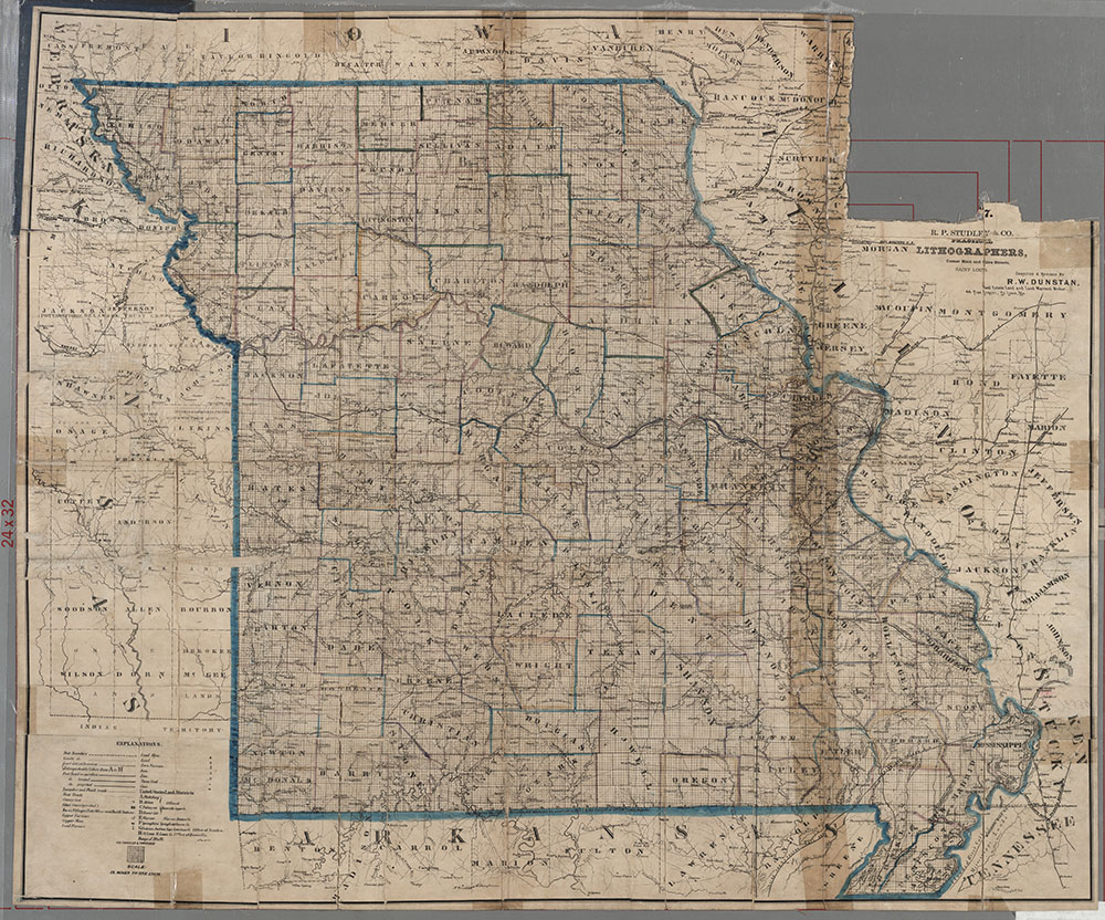
Description: Shows counties, U.S. Land Districts, railroads, roads, towns, mines, and mineral resources.
Date: 1867, Scale: 1:760,320. '12 miles to one inch.', Published: St. Louis : Jas. M. Crawford : R.P. Studley & Co., Practical Lithographers, Mapmaker: Fiala, John T.
1877
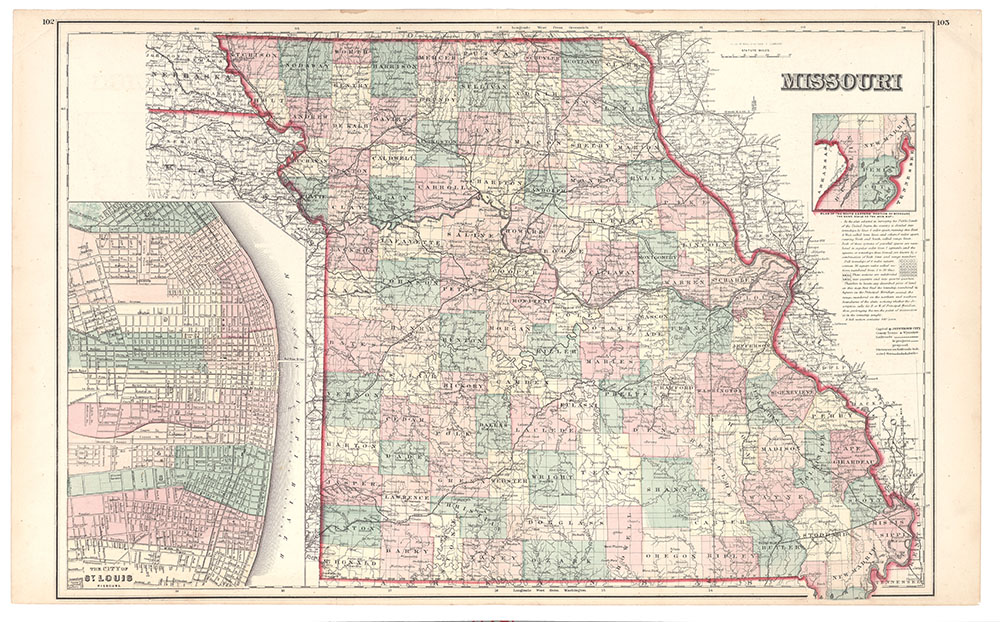
Description: The city of St. Louis map covers the city east of Compton/Garrison/Fillmore Streets, north of Arsenal Street, south of Davis Street. Shows ward boundaries. Insets: Plan of the south eastern portion of Missouri, the same scale as the main map. 7 x 8 cm. Scale 1:1,140,00 -- The city of St. Louis, Missouri. 30 x 18 cm. Scale 1:30,000. Explains the Public Land Survey & township organization, and describes how to locate townships to find a particular piece of land. Shows counties, towns, railroads, rivers. Probably from: The national atlas ... / O. W. Gray -- Philadelphia, 1877. -P.L. Philips, A list of geographical atlases ... , no. 855, p. 509.
Date: 1877(?), Scale: 1:1,140,000. '18 miles to an inch.' : W 96¦00'--W 89¦00/N 40¦30'--N 36¦00', Published: [Philadelphia : O. W. Gray], Mapmaker: Gray, Ormando Willis
1877
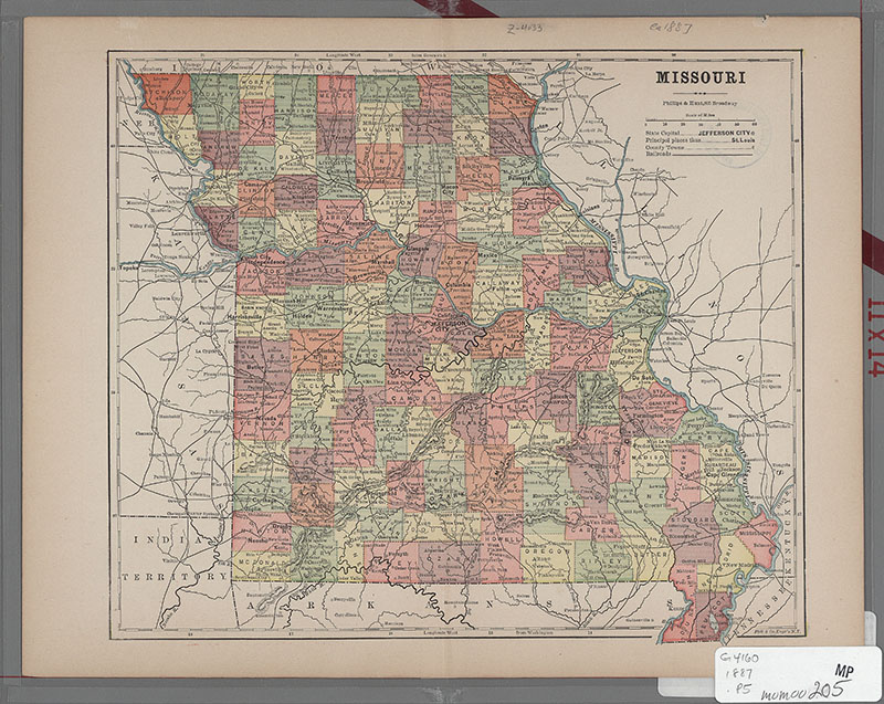
Description: Shows railroads, rivers, counties, towns. From: The universal guide and gazetteer ... / edited by W. H. DePuy -- New York : Philllips & Hunt, 1887 -- p. [284-285].
Date: 1877(?), Scale: ca. 1:2,160,000 : W 96¦--W 89¦/N 41¦--N 36¦, Published: [New York] : Phillips & Hunt, Mapmaker: Phillips & Hunt
1878
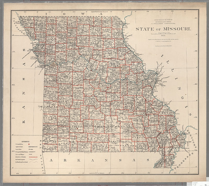
Description: Shows U.S. Land Offices, county boundaries, towns, rivers, and railroads. From: Atlas of the states and territories over which land surveys have been extended. -- Washington, D.C., 1879. -- map 8.
Date: 1878, Scale: 1:887,040. '14 miles to an inch.' : W 95¦45'--W 89¦07'/N 40¦37'--N 36¦, Published: New York : Photo lith & print. by Julius Bien & Co., Mapmaker: United States General Land Office
1886
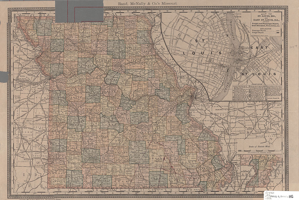
Description: Insets: Map of St. Louis, Mo., and East St. Louis, Ill., showing freight and passenger depots, grain elevators, ferry lines, etc. (16 x 22 cm.) [Scale ca. 1:68] -- [Southeast portion of state] (7 x 8 cm.) (same scale as main map). From: Rand, McNally & Co.'s new indexed atlas of the world -- Chicago, 1886 -- p. 522-523.
Date: 1886, Scale: ca. 1:1,500,000, Published: Chicago, Ill : Rand, McNally & Co., Mapmaker: Rand McNally and Company
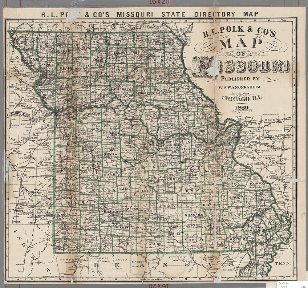
1889
