Discovery &
Exploration

Map of Arkansas
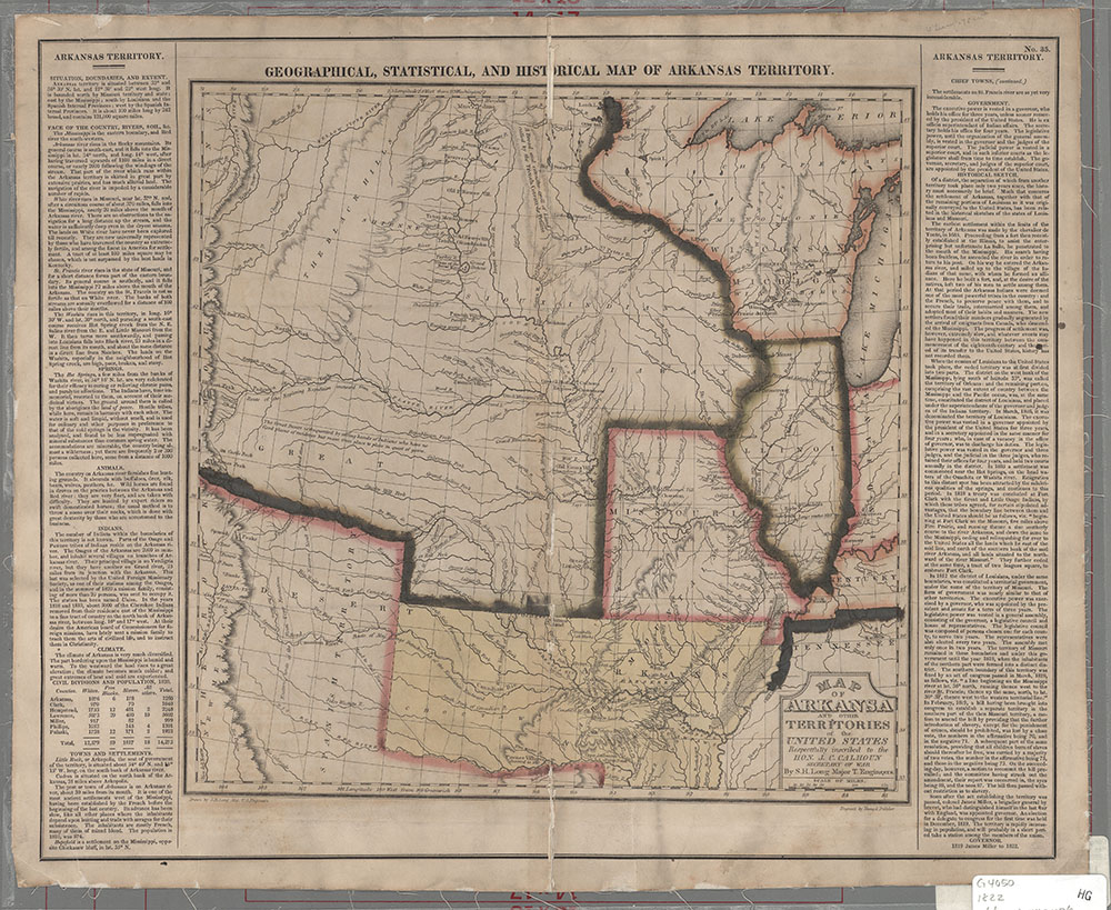
Description: Includes Missouri, Illinois, Wisconsin and adjacent territories to the West.
From: A complete historical, chronological and geographical American atlas ... / Carey & Lea -- Philadelphia, H.C. Carey and I. Lea, 1882 -- no. 35.
Date: 1822, Scale: ca. 1:4,752,000 : W 104¦30'--W87¦00'/N 47¦30'/--N 32¦30', Published: Philadelphia : Carey and Lea, Mapmaker: Long, Stephen Harriman, 1784-1864
Map of Arkansas
