General

about the collection
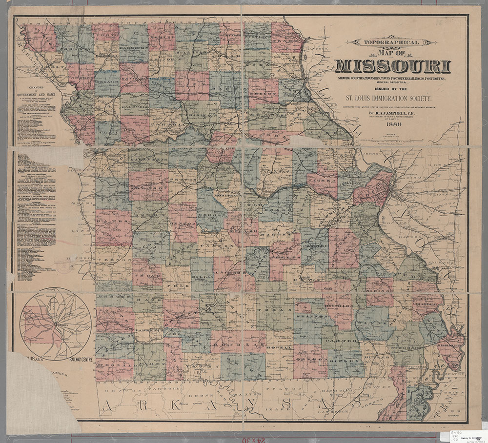
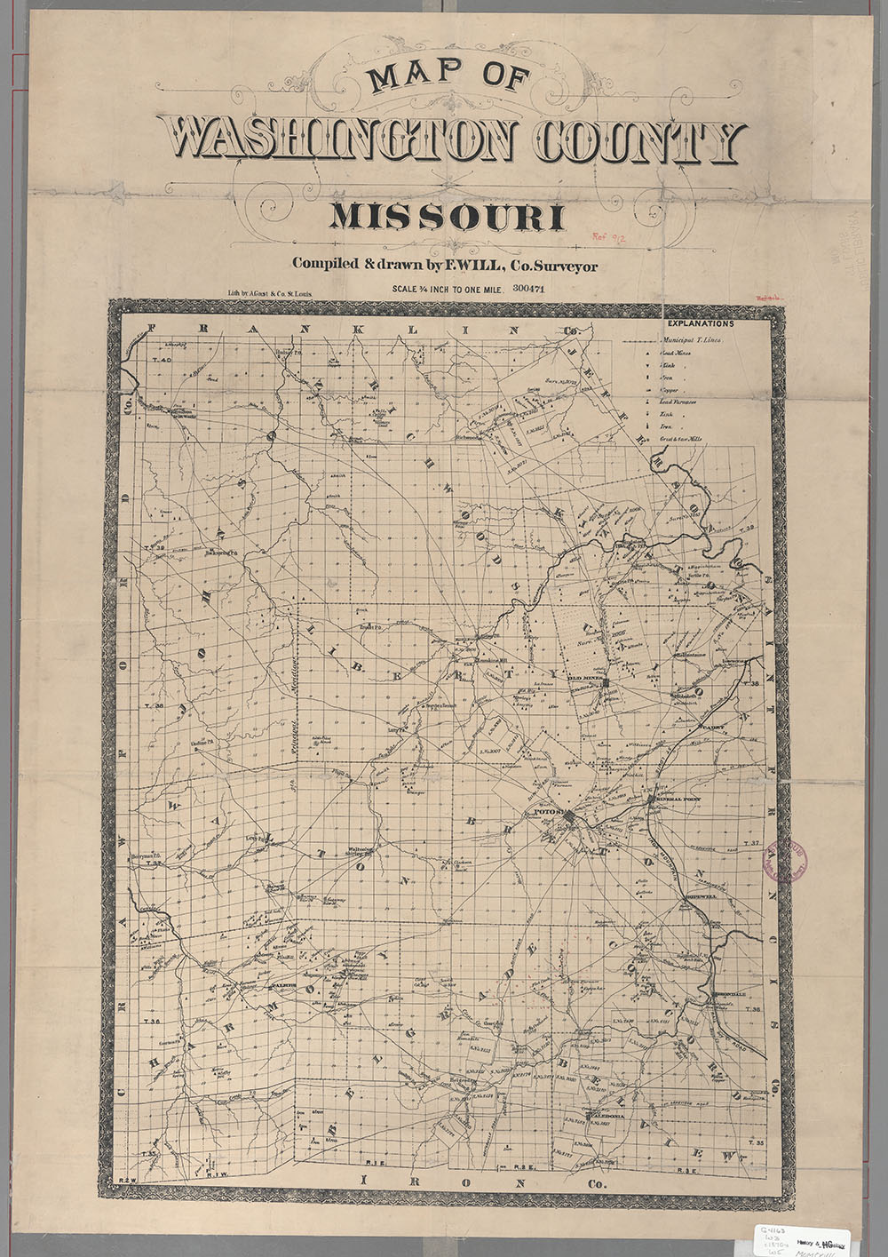
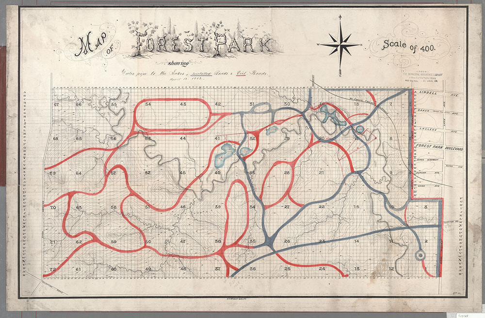
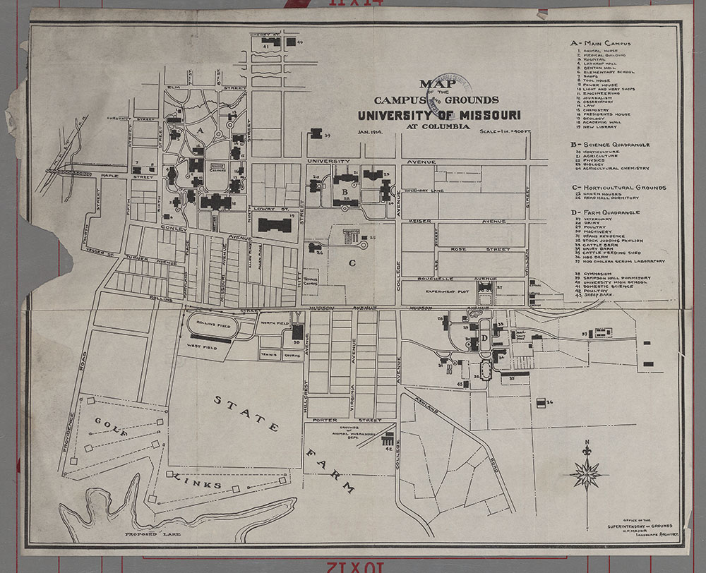
Maps of Missouri and surrounding states done at different times show changes in the political, geological, cultural, and industrial landscape.
Missouri-Illinois, Saint Louis special
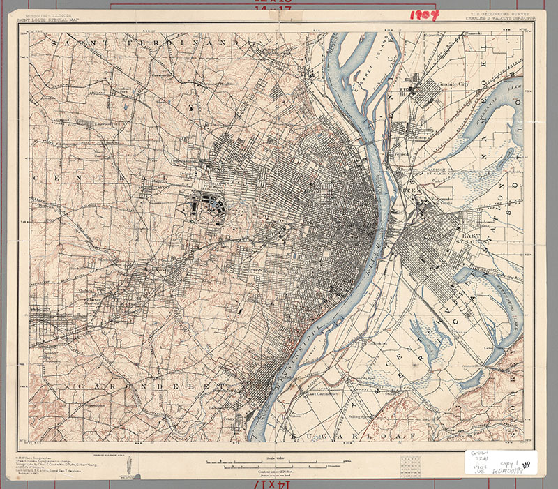
Description: Includes parts of Saint Louis County (Missouri) and Madison County and Saint Clair County (Illinois).
Date: 1904, Scale: 1:62,500 : W 90¦05'/N 38¦44'--N 38¦31', Published: [Washington, D.C.] : The Survey, Mapmaker: Geological Survey (U.S.)
Missouri-Illinois, Saint Louis quadrangle
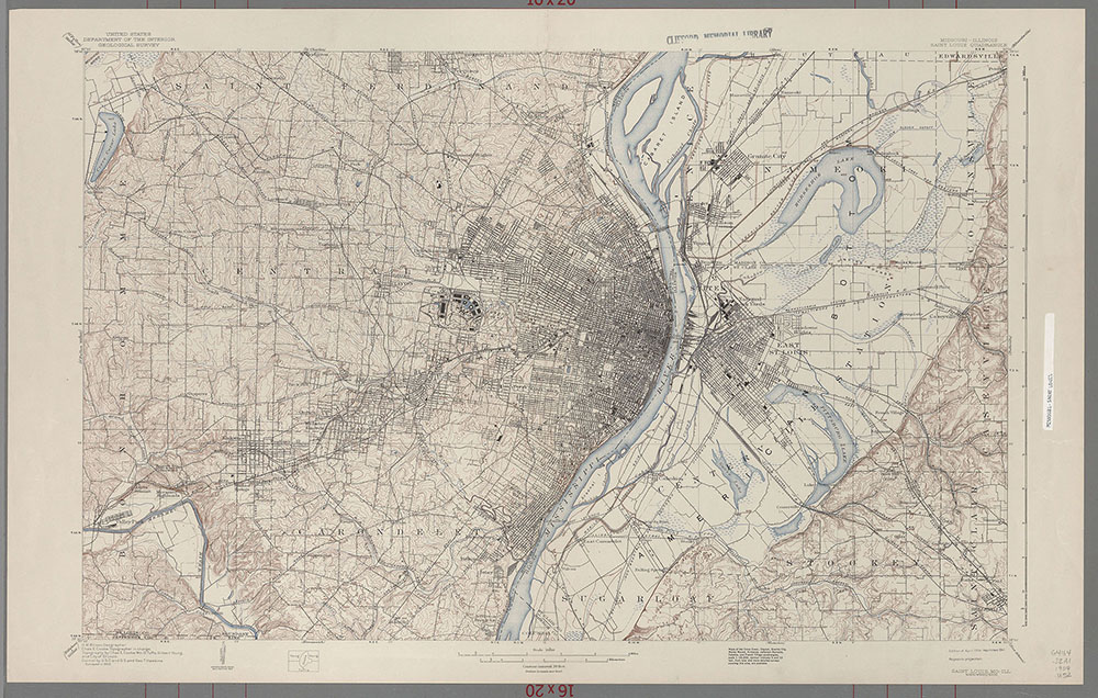
Description: Includes parts of Saint Louis County (Missouri) and of Madison and Saint Clair Counties (Illinois).
Date: 1941, Scale: 1:62,500 : Polyconic proj. : W 90¦30'--W 90¦00'/N 38¦45'--N 38¦30', Published: [Washington, D.C.] : The Survey, Mapmaker: Geological Survey (U.S.)
Map of Arkansas
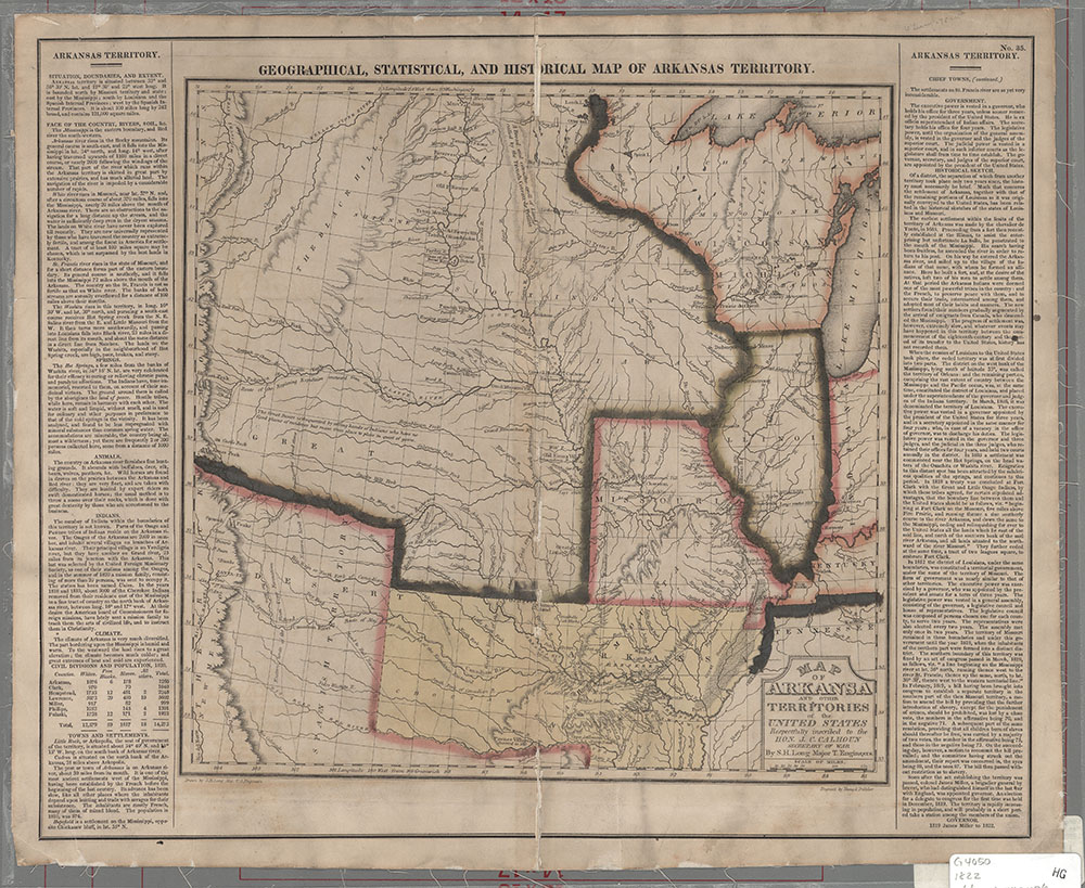
Description: Includes Missouri, Illinois, Wisconsin and adjacent territories to the West. From: A complete historical, chronological and geographical American atlas ... / Carey & Lea -- Philadelphia, H.C. Carey and I. Lea, 1882 -- no. 35.
Date: 1822, Scale: ca. 1:4,752,000 : W 104¦30'--W87¦00'/N 47¦30'/--N 32¦30', Published: Philadelphia : Carey and Lea, Mapmaker: Long, Stephen Harriman, 1784-1864
Johnsons Missouri and Kansas
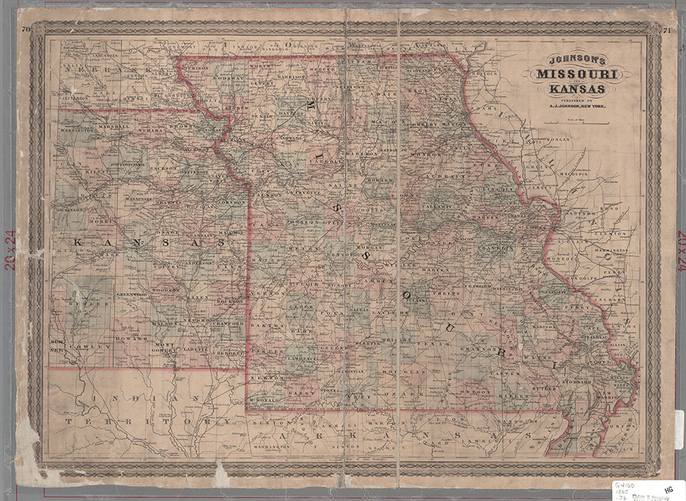
Description: Shows eastern Kansas, does not include west of 97¦ 30' W. Probably from one of the editions of: Johnson's new illustrated family atlas of the world -- New York.
Date: 1865, Scale: ca. 1:1,330,000, Published: New York : A. J. Johnson, Mapmaker: Johnson, A. J. : (Alvin Jewett), 1827-1884
Illinois & Missouri
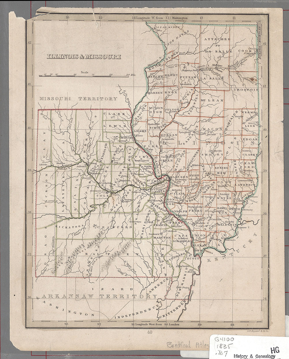
Description: Shows counties, towns, rivers, and railroads. From: A Comprehensive Atlas / T.G. Bradford. -- Boston : A.D. Ticknor; New York : Wiley & Long, 1835. --No. 14. : Cob (Ill) : 4-1450
Date: 1835, Scale: ca. 1:3,300,000 : W 94¦00' -- W 87¦00'/N 42¦30'--N 35¦30', Published: Boston, Mass : W.D. Tickor, Mapmaker: Boynton, George W., d.1884
Geographical, statistical, and historical map of Missouri - 1823
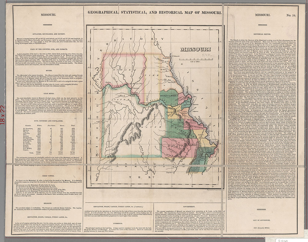
Description: Includes descriptive and historical text on borders. Appears to be detached from : A complete historical, chronological and geographical American atlas ... / H.C. Carey and I. Lea, Philadelphia, 1823. -- no. 34.
Date: 1823(?), Scale: ca. 1:2,340,000, Published: Philadelphia : Carey & Lea, Mapmaker: Lea & Febiger
Geographical, statistical, and historical map of Missouri - 1827
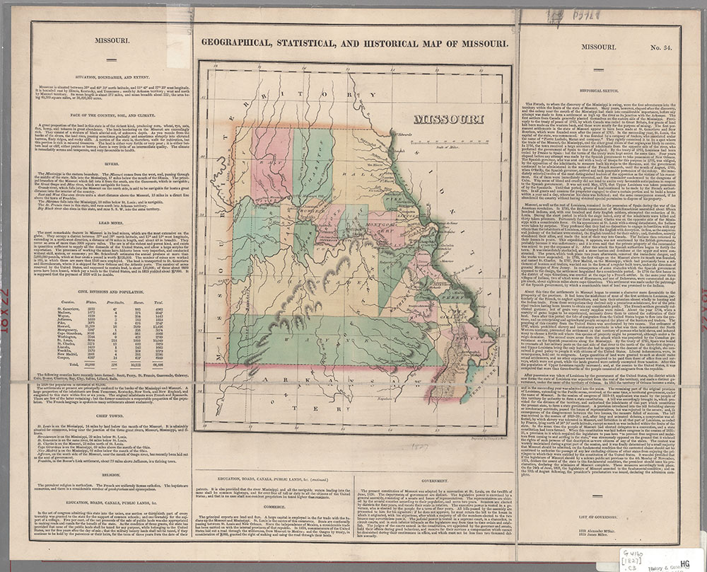
Description: Includes historical and descriptive text on borders. Appears to be no. 34 detached from: A complete chronological, and geographical American atlas..., Carey and Lea, 3rd ed., cor. and impr., Philadelphia, 1827. -P.L. Phillips, A list of geographical atlases..., no. 1177, p. 608-609.
Date: 1827(?), Scale: ca. 1:2,340,000, Published: Philadelphia : Carey & Lea, Mapmaker: Lea & Febiger
Geological map of Missouri
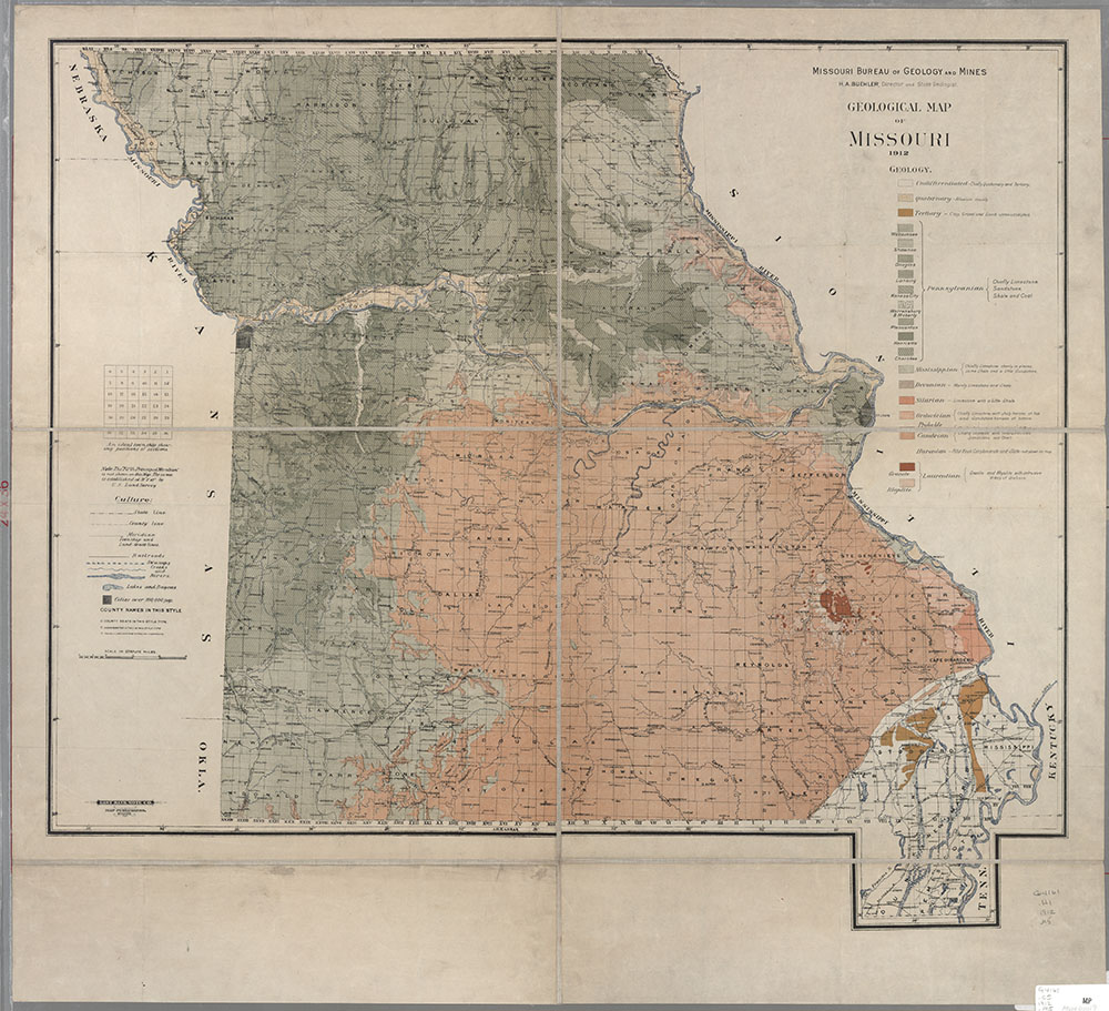
Description: Shows railroads, swamps, creeks, rivers, lakes, cities, county names... Includes township diagram.
Date: 1912, Scale: ca. 1:750,000. W 95 30'--W 89 00'/N 40 30' --N 36 00', Published: St. Louis, Mo. : Gast Bank Note Co., Map Publishers., Mapmaker: Missouri Bureau of Geology and Mines
L.A. Wilson's railroad & township map of Missouri
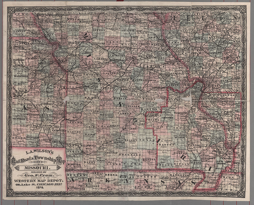
Description: Shows railroads, swamps, creeks, rivers, lakes, cities, county names... Includes township diagram.
Date: 1876, Scale: ca. 1:1,450,000, Published: Chicago,Ill : published by Geo. F. Cram, proprietor of the Western Map Depot, Mapmaker: Wilson, Lewis A.
Mineral resources of Missouri
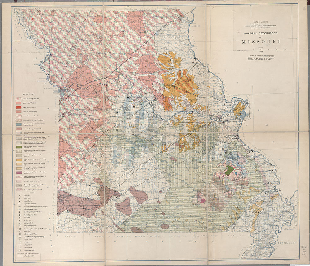
Description: Shows mineral deposits, mills, smelters, and plants.
Date: 1944, Scale: ca. 1:600,000, Published: Baltimore, Md. : A. Hoen & Co., Mapmaker: A. Hoen & Co.
Missouri county seat highway map

Description: Shows county seat roads in red with road no. and mileage. Also steam and electric railroads, rivers, cities over 5,000, county seats, bench marks, and elevation at railroad stations.
Date: 1918, Scale: ca. 1:760,320, Published: Jefferson City, Mo. : Missouri State Highway Department, Mapmaker: Missouri. State Highway Dept.
Missouri state road map
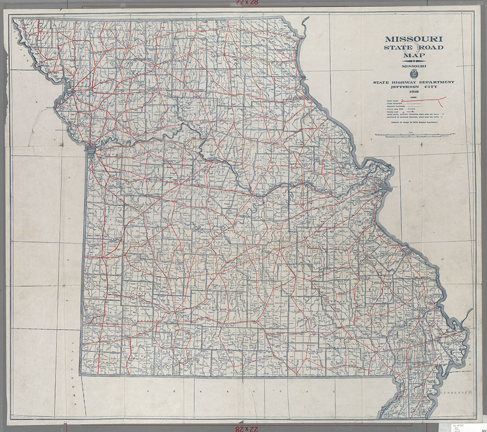
Description: Shows state roads in red. Also steam and electric railroads, rivers, cities over 5,000, county seats, bench marks, and elevation at railroad stations.
Date: 1918, Scale: ca. 1:760,320, Published: Jefferson City, Mo. : Missouri State Highway Department, Mapmaker: Missouri. State Highway Dept.
Rand-McNally new sectional, commercial, statistical map of Missouri
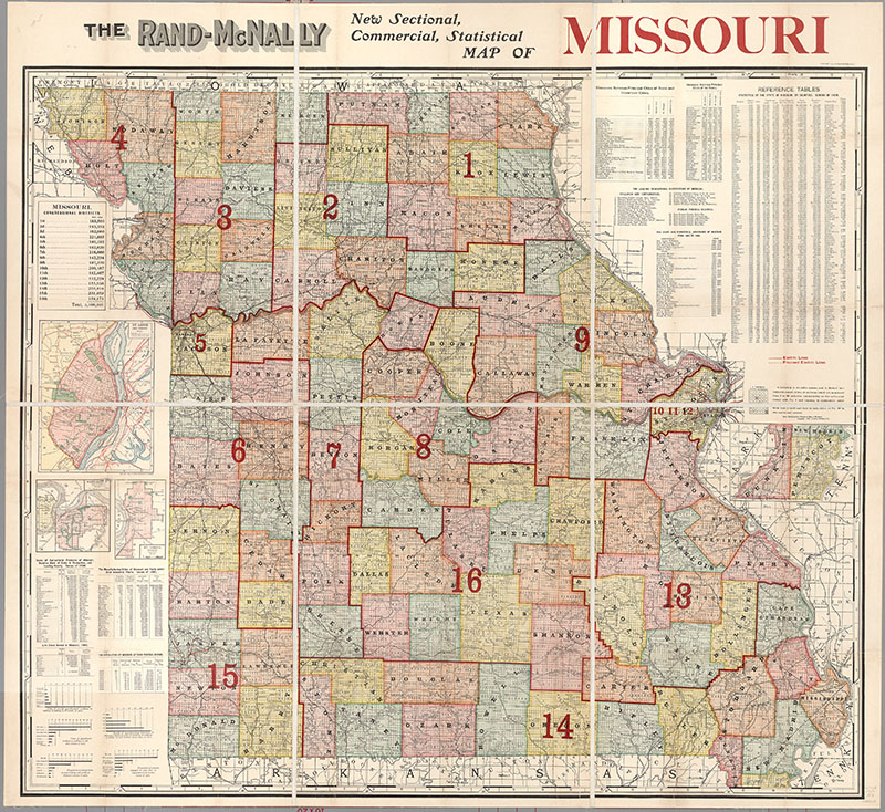
Description: Includes 15 tables and graphs: Values of agricultural products, livestock, manufacturing cities and their industrial plants, foreign born, occupational classes, growth of manufacturing, educational institutions, distances between cities, statistics by counties, list of governors. . Shows Congressional district boundaries. Shows in red electric lines and proposed boundaries. Insets: St. Louis and vicinity (19 x 15 cm.) [Scale ca. 1:126,720] -- St. Joseph, Mo. (11 x 7 cm.)[Scale ca. 1:95,040] -- [Southeast portion of state] (11 x 17 cm.) (same scale as main map
Date: 1909, Scale: ca. 1:570,240, Published: Chicago, Ill. : Rand, McNally & Co., Mapmaker: Rand-McNally and Company
Relief map of Missouri, 1974
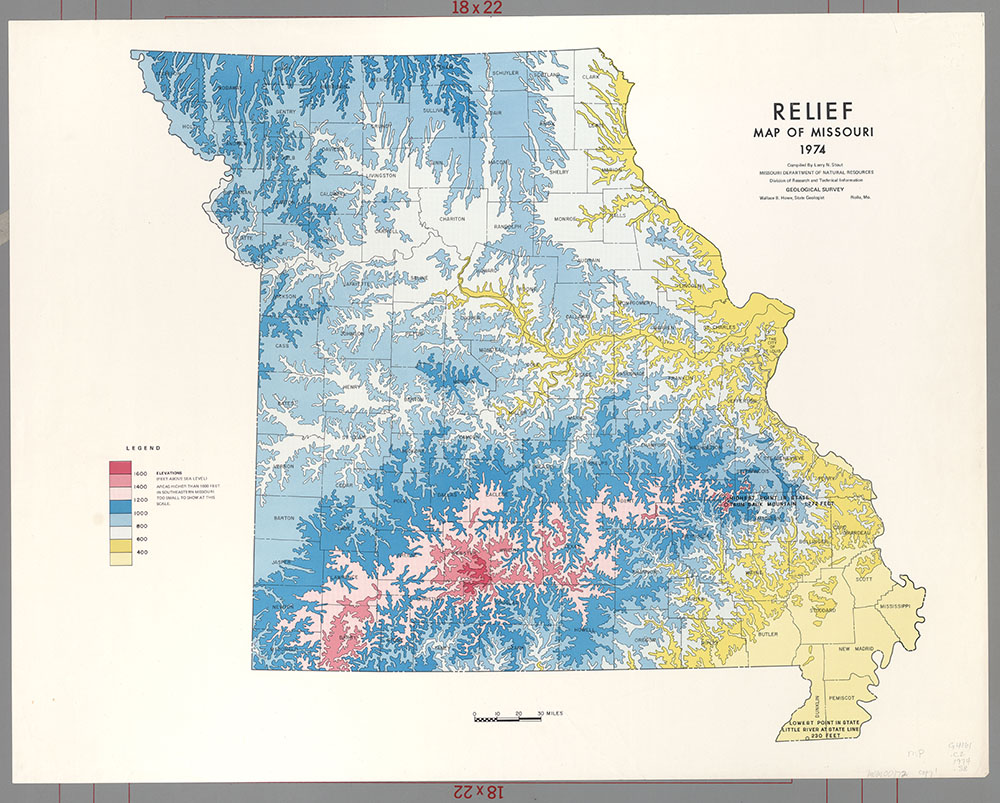
Date: 1974, Scale: ca. 1:1,000,000, Published: Rolla, Mo. : Geological Survey, Mapmaker: Stout, Larry N.
Topographical map of Missouri
