The St. Louis Public Library presents
Maps of Missouri
illustrating the many ways maps convey times, places, and events.
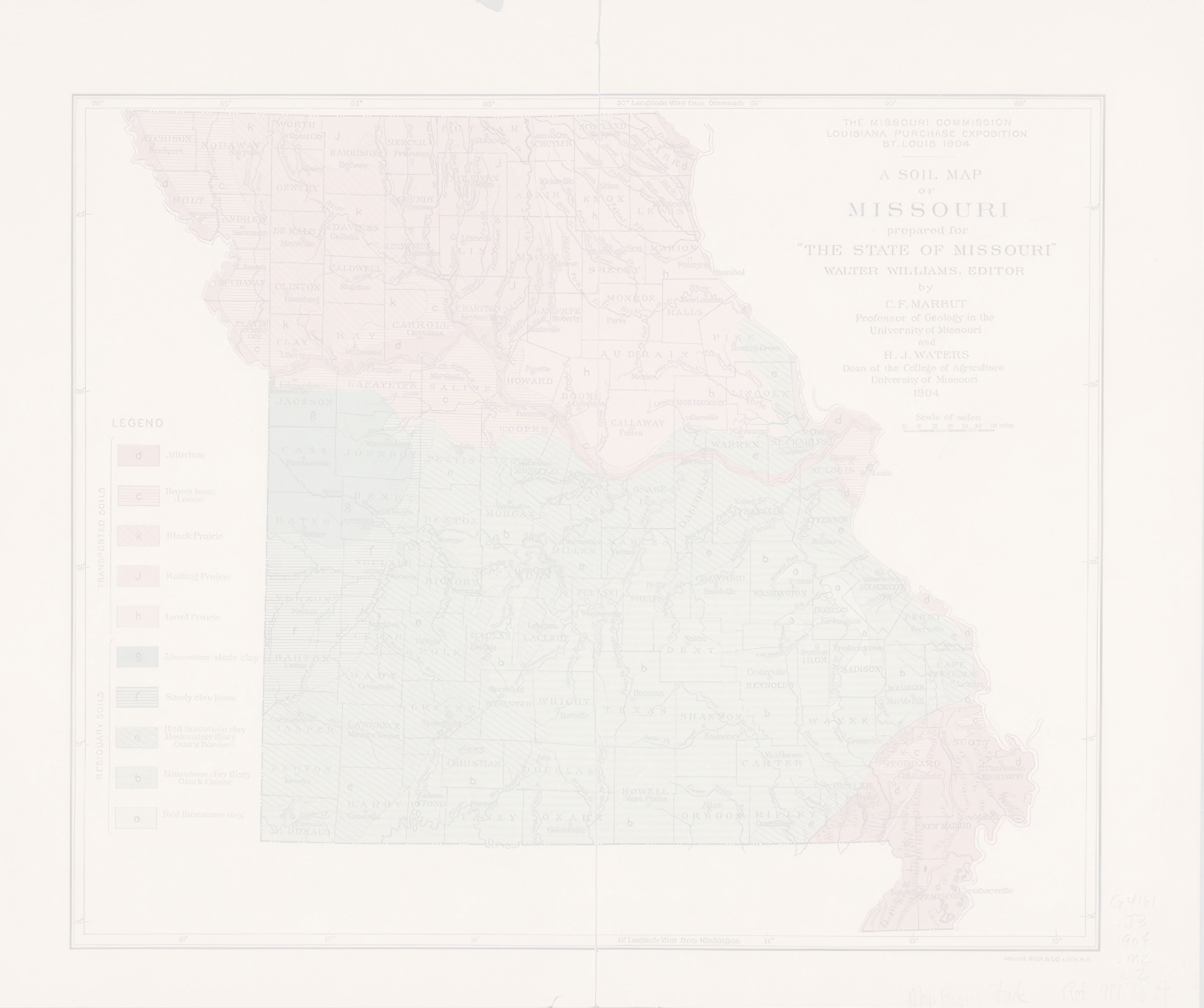
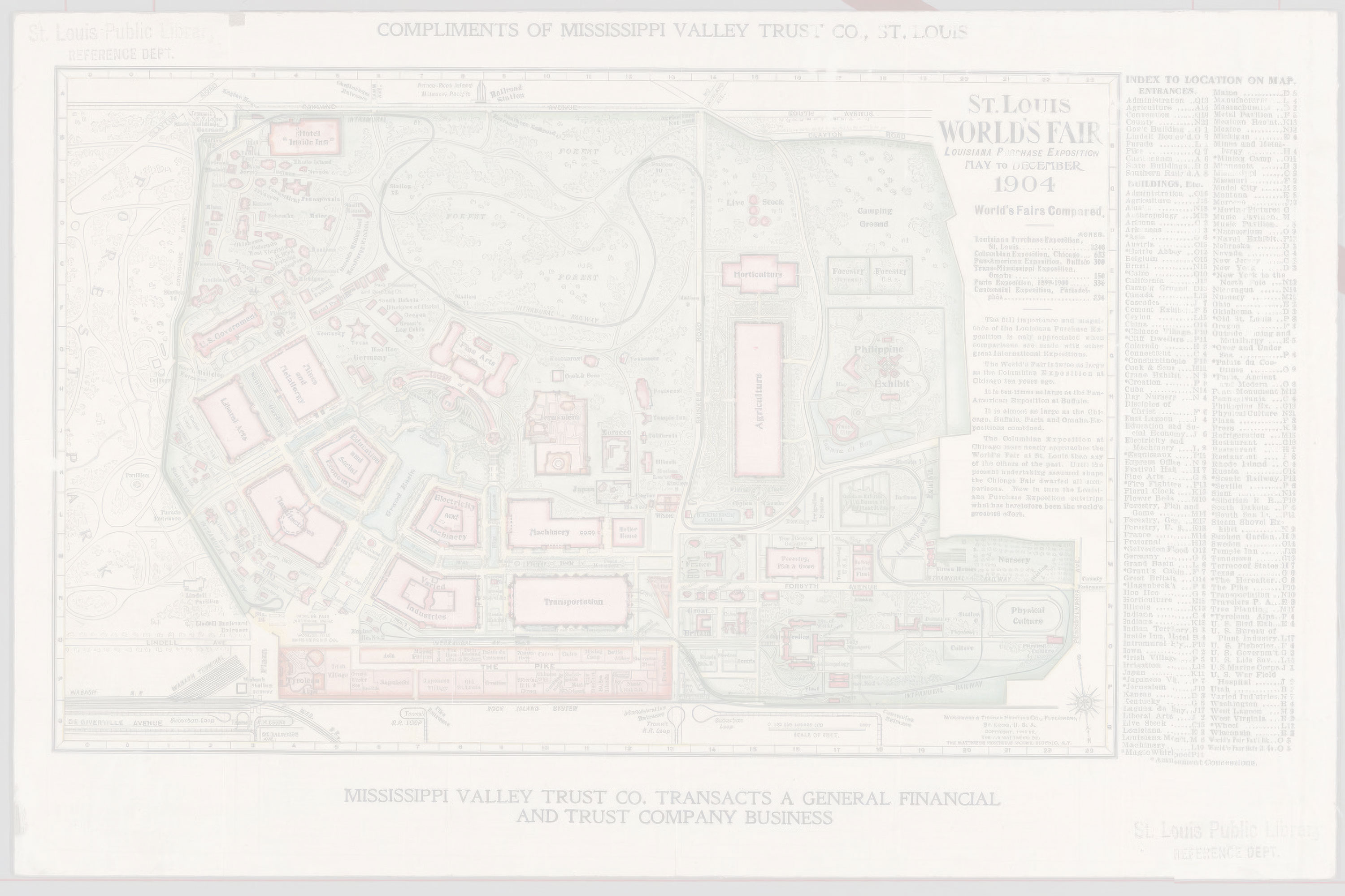
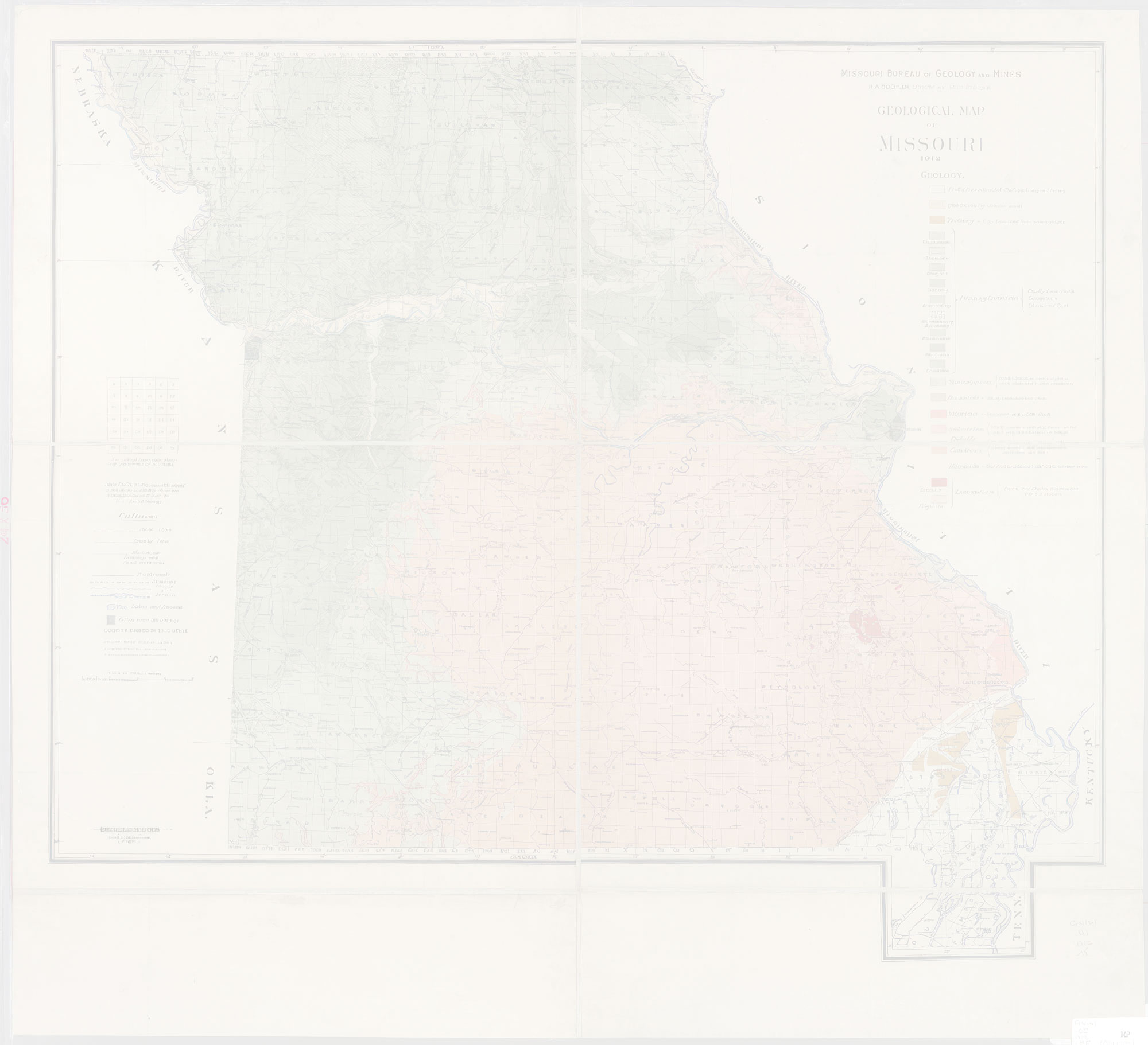
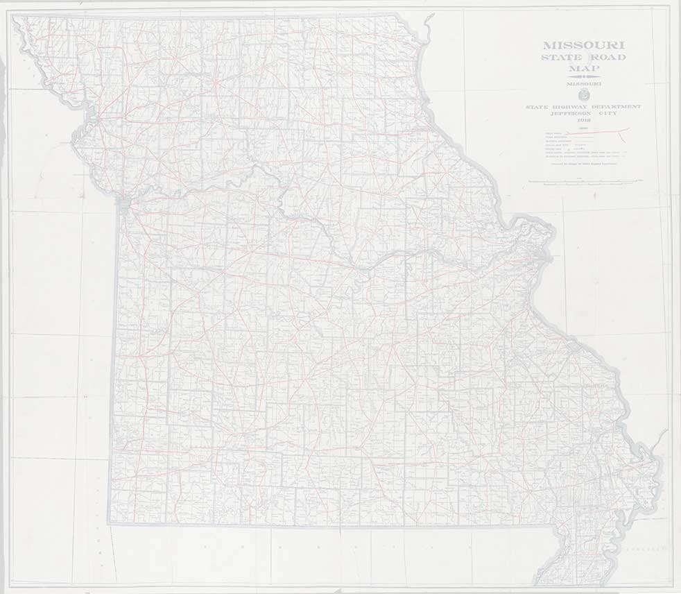
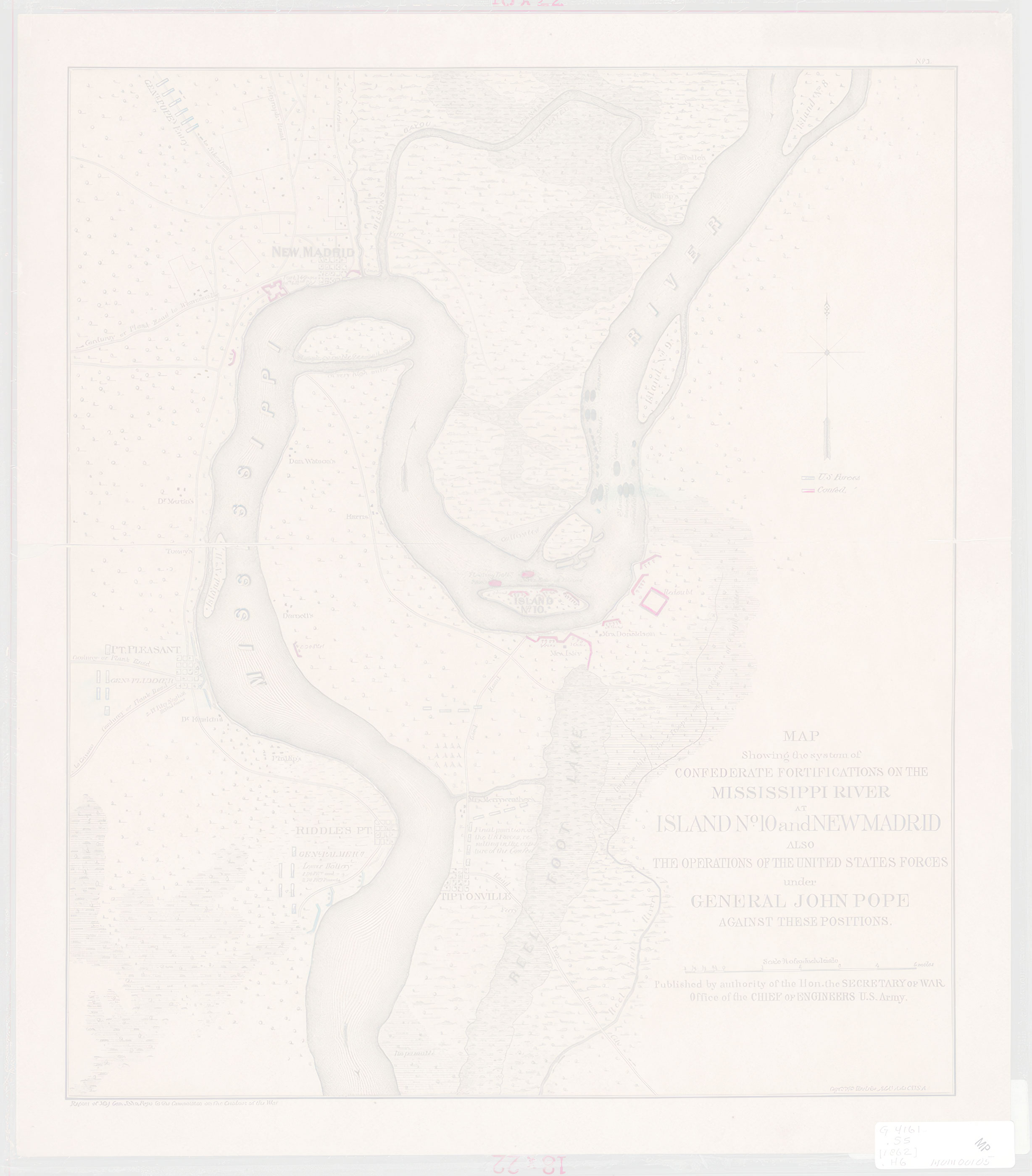
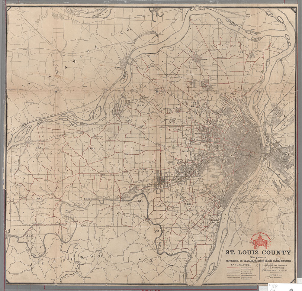
Approximately 100 maps of Missouri cities, towns, counties and the state are included in the exhibit. Most of the maps were created between the beginning of the nineteenth through the early twentieth century and appeared as single sheet maps or sections of atlases. Maps for this exhibit were chosen to represent various types of maps, subjects, time periods, and the aesthetic appearance of the maps themselves.
Funding for this exhibit was provided by the Institute of Museum and Library Services and the Missouri State Library.